|
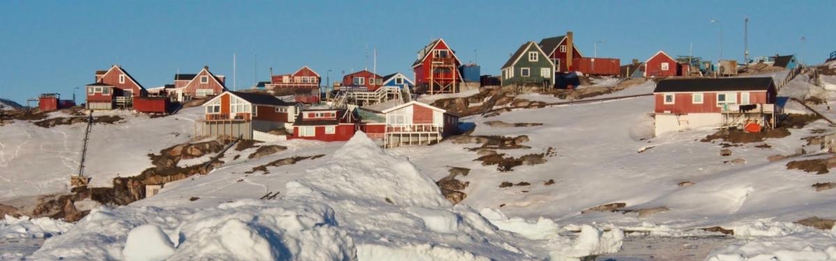
QGreenland: A free GIS tool for Greenland Research
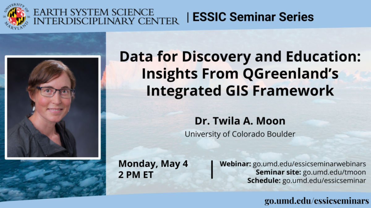
Learn more about QGreenland through a poster showcasing recent progress and the upcoming QGreenland v4 release. The poster highlights how QGreenland brings together interdisciplinary Greenland datasets in an integrated, easy‑to‑use QGIS package that supports research, education, field planning, proposal development, and collaboration across the geoscience community.
You can catch the same poster at two upcoming events:
Colorado Glaciology Workshop
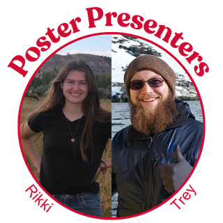
Presenter: QGreenland Intern Rikki Held
When: Friday, April 20, 2026, 11:40 a.m.–12:30 p.m. MT
Where: McHugh Commons, West Campus, Colorado College
CIRES Rendezvous
Presenter: QGreenland Developer, Trey Stafford
When: Thursday, May 14, 1:30–4:30 p.m.
Where: University of Colorado Boulder, UMC Terrace Tent and Aspen Rooms
We hope to see you at these upcoming events! If you have any questions in the meantime, let us know at qgreenland.info@gmail.com.
|