|
• Community Governance
• Progress on Multi-Benefit Projects
• Groundwater Recharge Impact
| |  | |
• Groundwater Data Sharing
• Landowner Spotlight: Geoff Klein
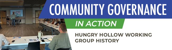
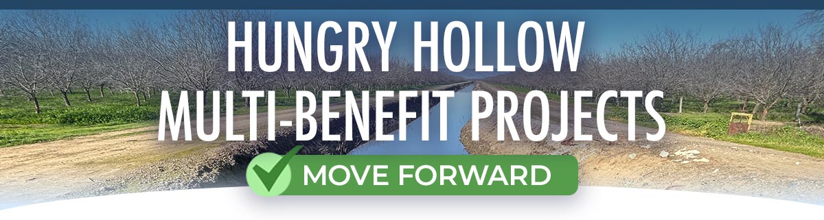
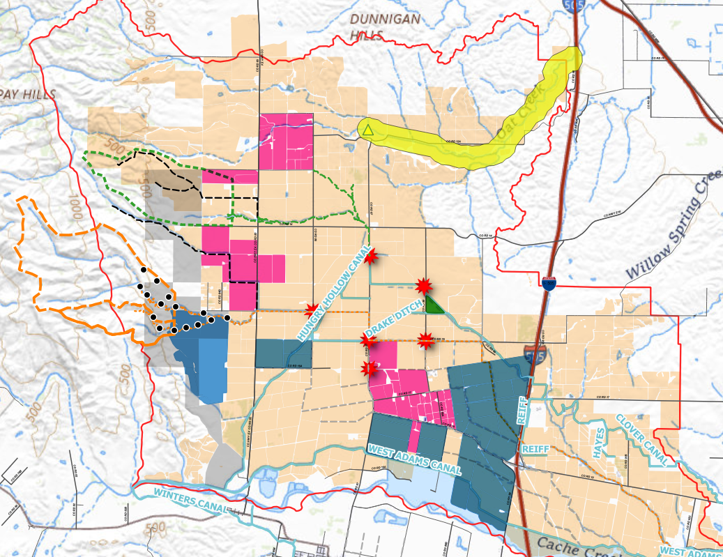
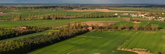
| | | | Established the informal Hungry Hollow Sustainability Coalition (Coalition) to collect data, understand groundwater challenges, and advise local agencies on sustainable water use practices. | | | | Met with the community 19 times, secured $440,000 in grant funding, and undertook extensive data collection efforts — including incorporating 11 new groundwater monitoring wells into the network, digitizing well logs, collecting subsurface data along Hungry Hollow Canal, and developing a draft water budget for the area. | | | | Established Hungry Hollow Groundwater Working Group to give the community an advisory role in groundwater sustainability decisions. Members represent a diverse group of landowners, including small and large landowners and landowners with irrigated and non-irrigated land. | | | | Approved the Hungry Hollow Working Group’s recommendation to prioritize five of 16 identified projects and management actions to help achieve groundwater sustainability. The YSGA is actively working to refine and implement the priority projects and management actions and incorporate new data and information as implementation progresses. | | The YSGA and landowners are implementing six priority projects in the Hungry Hollow area to address historical concerns related to erosion, flooding, and groundwater. The color of each project title below matches the corresponding colored location on the map. The red stars represent areas with known severe flooding and historical damage to infrastructure; the yellow triangle represents the delivery point for trickle flow recharge. The YSGA started work on these projects in winter 2025-2026 and anticipates continued work over the next five years. | | GOAL FOR ALL MULTI-BENEFIT PROJECTS:
Achieve 6,000 acre-feet per year (AFY) of groundwater recharge by diverting excess winter flows for recharge, using available surface water for irrigation reducing groundwater pumping, improving soil retention and increasing soil infiltration, and improving soil erosion and flood management. | |
| The YSGA and landowners are implementing six priority projects in the Hungry Hollow area to address historical concerns related to erosion, flooding, and groundwater. | | The color of each project title matches the corresponding colored location on the map; the red stars represent areas with known severe flooding and historical damage to infrastructure; the yellow triangle represents the delivery point for trickle flow recharge. The YSGA started work on these projects in winter 2025-2026 and anticipates continued work over the next five years. | | |
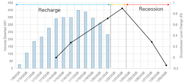
The District worked with landowners to pilot on-farm and creek trickle flow recharge in January 2026. The results show that groundwater levels rose in shallow monitoring wells located in unconfined aquifer zones near recharge sites as water was applied. Once water was no longer applied for recharge, groundwater levels plateaued within two days before receding due to mounded groundwater migrating into the aquifer system by gravity. This confirms recharge efforts measurably changed groundwater levels in these wells and added water to groundwater storage. This is an example of what can be done in Hungry Hollow.
| |
|
Do you monitor groundwater levels in your well?
If not, join our monitoring program!
| The YSGA's well monitoring program is open to all landowners. YSGA will either monitor your well at no cost or train you to monitor your well with a water-level measuring tape. Reach out to us at info@yolosga.org if you would like to learn more! | | District Recharge Impact to Groundwater Levels | | |
YSGA invites Hungry Hollow landowners to share groundwater data and implement groundwater recharge projects on their land to help achieve groundwater sustainability in the Yolo Subbasin. Your help is needed to both implement recharge projects and record periodic water level measurements. This work will help YSGA establish a clear picture of Hungry Hollow groundwater sustainability conditions and achieve groundwater sustainability.
Contact us at info@yolosga.org or call 530-662-3211 for more information on these opportunities.
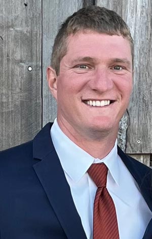
| | | | Geoff Klein is the irrigation manager for Bullseye Farms, an operation with a long history and deep roots in Yolo County. Bullseye Farms grows almonds, pistachios, walnuts, tomatoes and other diversified crops. Geoff is an active member of the community and serves on the YSGA Board of Directors representing RD 730 and the Hungry Hollow Groundwater Working Group. He is passionate about proactive groundwater management, land stewardship, and water efficient irrigation systems. He is excited about the Working Group's progressive and collaborative work to ensure a productive and sustainable Yolo Subbasin. | | |